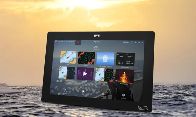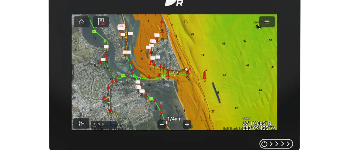
Raymarine has expanded access to CMOR NEX GEN all-in-one charts so the mapping now covers the entire state of Florida. The package combines high-resolution seafloor information with conventional navigational charting, giving Axiom users a single view intended to support both route planning and detailed understanding of bottom structure.
Florida coverage turns a specialist layer into a wider tool
CMOR is best known for detailed bathymetric mapping, but statewide coverage makes the data relevant to a much broader group of boaters. Owners cruising between the Keys, Atlantic coast and Gulf side can now use the same chart ecosystem rather than switching products as they move between regions.
High-resolution bottom detail adds practical value
Detailed seafloor mapping can help anglers identify structure, but it also helps cruising skippers understand channels, shoals and underwater contours more clearly. The value is greatest when the extra detail is presented alongside familiar navigational information rather than forcing the user to interpret a separate specialist display.
Axiom becomes the delivery platform
Raymarine is positioning CMOR NEX GEN as part of the wider Axiom experience, which means chart choice becomes another layer of the helm system rather than an isolated purchase. Owners should still confirm update policies and local chart coverage, because high-resolution data is most useful when the source and currency are clearly understood.
Florida is an important test market
Florida’s concentration of marinas, shallow waterways and high recreational-boat traffic makes it a demanding environment for chart products. A statewide release therefore gives Raymarine and CMOR a substantial user base from which to refine how detailed bathymetry is displayed and updated for everyday navigation.