New notice addresses unreliable satellite navigation
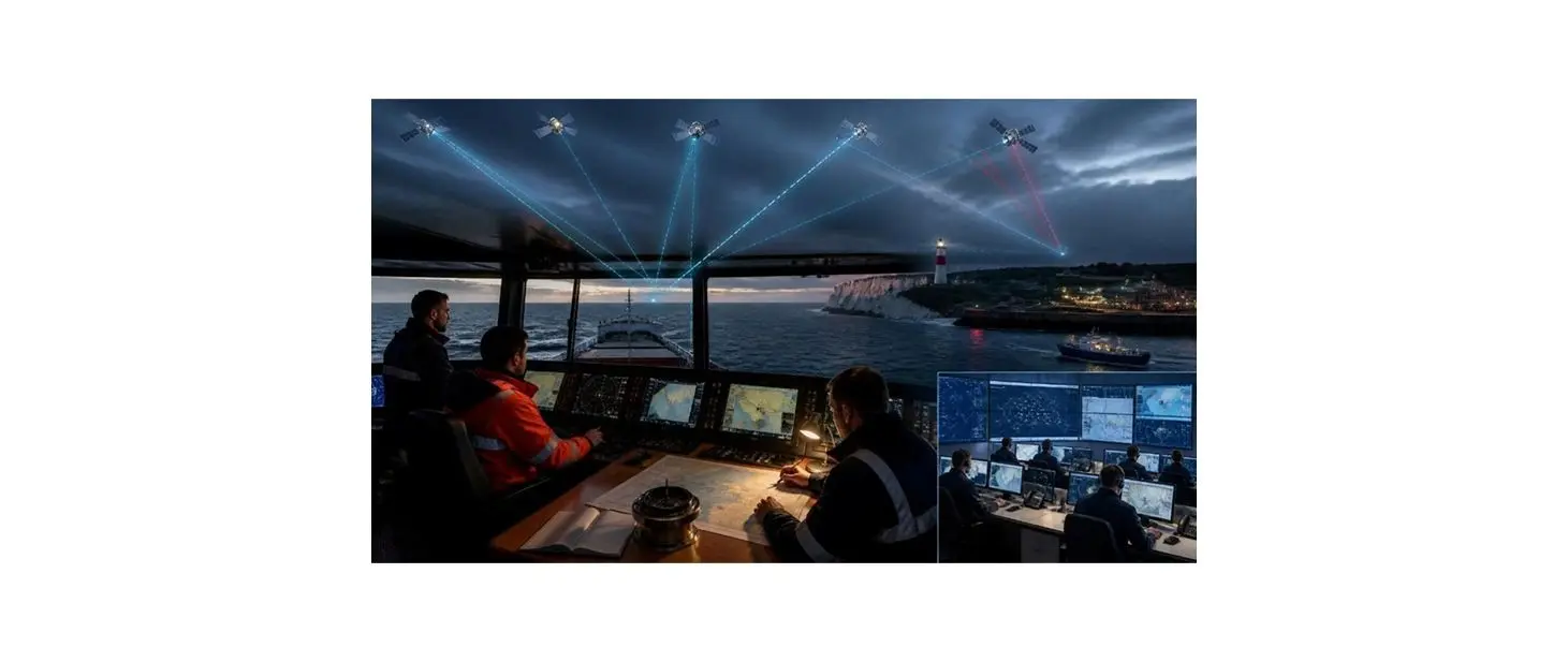
The Maritime and Coastguard Agency published Marine Guidance Note 719 on 1 October 2026, with British Marine drawing attention to its implications for the boating industry later in the month. It warns that satellite-positioning services cannot always be assumed accurate or available, particularly in regions experiencing interference.
The guidance applies broadly to maritime stakeholders, including vessel operators, harbour authorities and people responsible for navigation. Although it addresses merchant shipping as well as fishing vessels, many of its resilience principles are relevant to private yacht owners and professional skippers.
Jamming and spoofing present different risks
GNSS includes widely used systems such as GPS, Galileo, GLONASS and BeiDou. Jamming can block or degrade incoming signals, while spoofing can present misleading location information that appears plausible to equipment or the person using it.
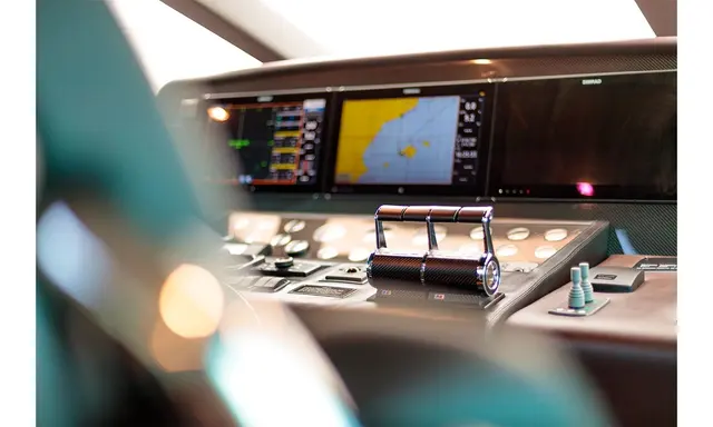
The agency notes interference in several operating regions, including the Baltic and Black seas, the Gulf and parts of East Asia. A yacht equipped with several screens may still have a shared underlying dependency if those displays all receive coordinates from the same compromised source.
Check position independently where possible
The MCA recommends identifying systems that rely on satellite-derived position, navigation and timing information. Operators are encouraged to check their risk assessments, establish procedures for recognising suspect data and practise contingency responses with crews.
Alternatives may include radar fixing, visual bearings, dead reckoning and estimated positions, with celestial navigation or independent sensors suitable in particular circumstances. Which method is available depends on equipment, weather, the vessel and the competence of the crew.
A practical issue for owner-operated yachts
On a cruising yacht, GPS information may feed chartplotters, automatic identification displays, autopilots and other equipment. Owners should understand which readings are genuinely independent and which share an antenna or positioning source.
Regular cross-checks against charts, observed landmarks, depth information and radar targets can help highlight discrepancies. The notice does not suggest that modern electronics should be abandoned; it encourages mariners to avoid treating a single data source as infallible.
Resilience remains a developing policy priority
The guidance also describes future alternative positioning technologies, including UK work on enhanced LORAN and other systems. Such approaches are still being developed and will not replace good seamanship or immediately resolve every navigation disruption scenario.
For yacht operators, the actionable message is to identify dependencies, maintain the skills to operate without accurate GNSS and rehearse procedures. MGN 719 is guidance, and this report should not be mistaken for a claim that new equipment requirements have already been imposed on every leisure yacht.