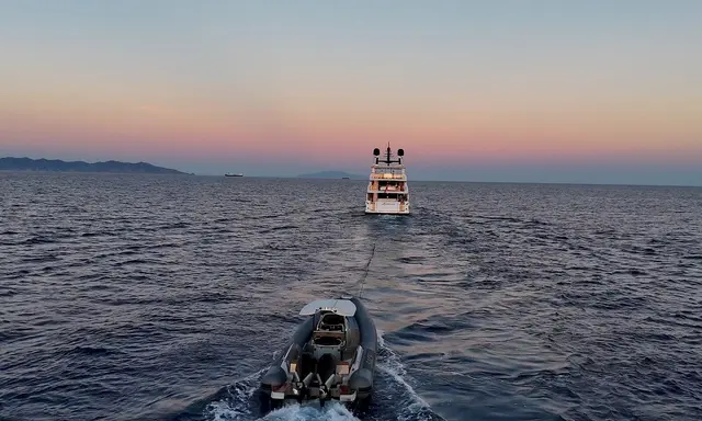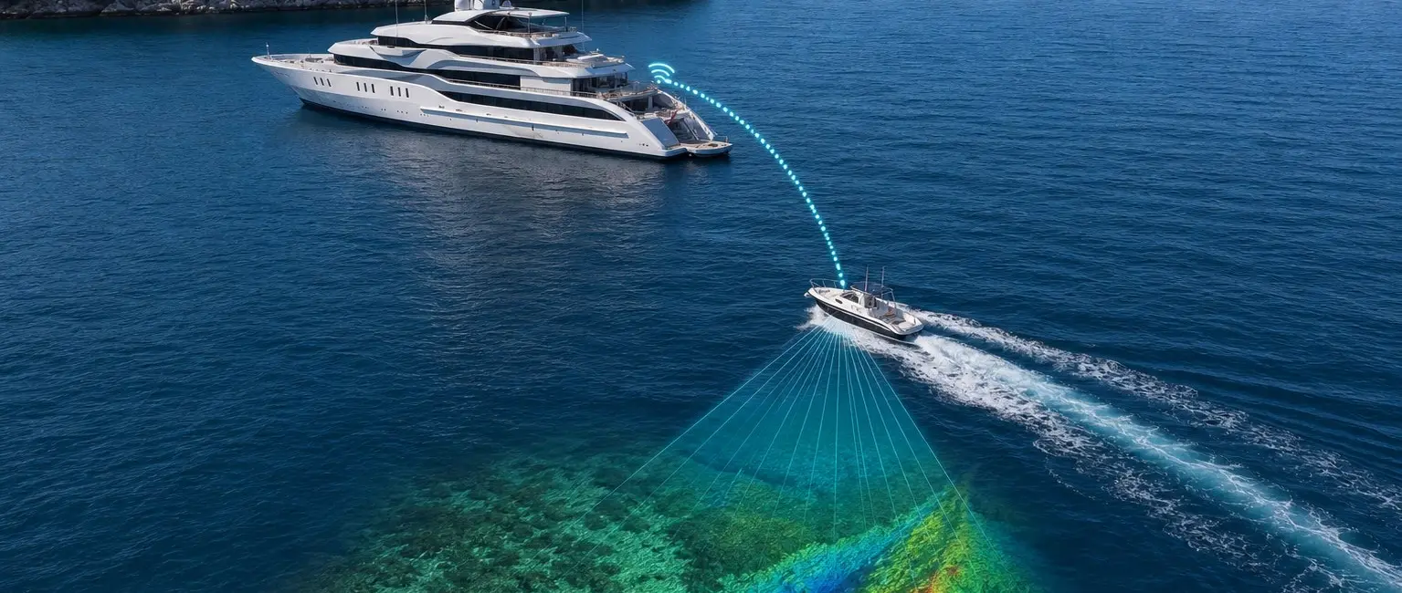
The tender scouts before the mothership commits
For the 12.00–23.99-metre luxury-yacht market, this development has a specific place in the wider marine and travel picture. WASSP is highlighting its W3P portable multibeam system as a way for explorer yachts to examine poorly charted anchorages before the mothership enters. The equipment is deployed from a tender, allowing crew to build a live seabed picture without taking the larger yacht into water whose depth or obstructions are uncertain.
The approach is particularly relevant where official charts are old, sparse or based on limited surveys. It adds new local information for the bridge team, but it does not change the requirement to use authorised charts and all available navigation information.
More than a single depth number
WASSP says the W3P uses 224 beams across a 120-degree swath, mapping a broad strip of seabed rather than measuring only the point directly below the tender. The resulting data can reveal depth contours, shelves, obstructions and potential anchoring areas in both two-dimensional and three-dimensional views.
A multibeam image can be much more informative than a single sounder reading, although survey quality depends on equipment setup, vessel motion, speed and environmental conditions. Crew need appropriate training to collect and interpret the data reliably.
Live mapping returns to the yacht
The portable system can relay mapping information wirelessly from the tender to the mothership, giving the bridge a live picture while the scout boat works ahead. That can help captains compare a possible route or anchorage with the yacht's draft and manoeuvring requirements before committing the larger vessel.
Wireless range and data quality still need to be managed in real-world terrain and weather. A loss of the link should not leave the tender crew without a safe independent way to complete or abort its survey.
Explorer yachts are driving specialist navigation tools
Long-range yachts increasingly visit destinations beyond heavily surveyed commercial routes, creating demand for portable hydrographic tools that were once associated mainly with dedicated survey vessels. Tender-based mapping can therefore become part of expedition planning alongside weather, pilotage and local knowledge.
WASSP's official technical feature provides the system description and exact mapping graphic used here. Luxury Yacht Guide has linked the existing WASSP Multibeam company record rather than creating another supplier entry. For buyers and managers working with 12.00–23.99-metre luxury yachts, the practical question is how this development affects a vessel's operation, itinerary, equipment or service network. The announcement should be read against the exact yacht, local conditions and supplier terms rather than applied to every boat.